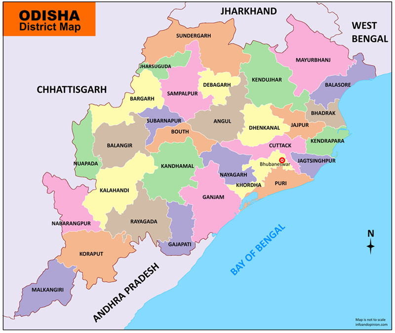
Area of Operations in Odisha
Once a vast kingdom spanning a great swathe of the country this region was renowned for its rich culture and architecture, its centers of learning, its military strength and maritime trade links with countries further East as much as for its luxuriant flora and fauna. There is much to learn about Odisha and its magnificent ancient civilization but unfortunately its status today reads like a study in contrasts. Home to a large population of tribal and marginalized people, it was an obvious choice for our work as you can see from the statistics below:
| ODISHA PROFILE | |
| ADMINISTRATIVE SETUP | |
| Area | 1,55,820 sq km |
| Districts | 30 |
| Blocks | 314 |
| Tahasils | 317 |
| Villages | 51,349 |
| Gram Panchyats | 6,234 |
| Rural/Urban Ratio | 74.59/25.41 |
| DEMOGRAPHY | |
| Population | 41,947,358 |
| Sex Ratio | 972 |
| Children (age 0 to 6 years) | 2,531,570 |
| Average Family Size | 5 |
| No of Aganwadi’s Centre / Mini AWC’s | 60918/10216 |
| No of Primary Health Centres / Sub centres | |
| Infant Mortality Rate | 97 |
| Maternal Moterality rate | 297 |
| Literacy | 73 |
| ECONOMY | |
| HDI | 0.579 |
| GDP | 0.546 |
| Precipitate Income Rs | 5,264 |
| Forest Cover | 48,855sq.km |
| Industrial Units | Steel, Aluminium & Power Plants. Mining. |
| Irrigated Area | |
| Affected by Left Wing Extremism | YES, High. |
| MGNREGA DATA (2020-21) | |
| No. of Families who got work | 650639 |
| Average No. of Days | 61.07 |